

Climatological characterisation of marine weather conditions for operations in remote locations in the Australian Antarctic
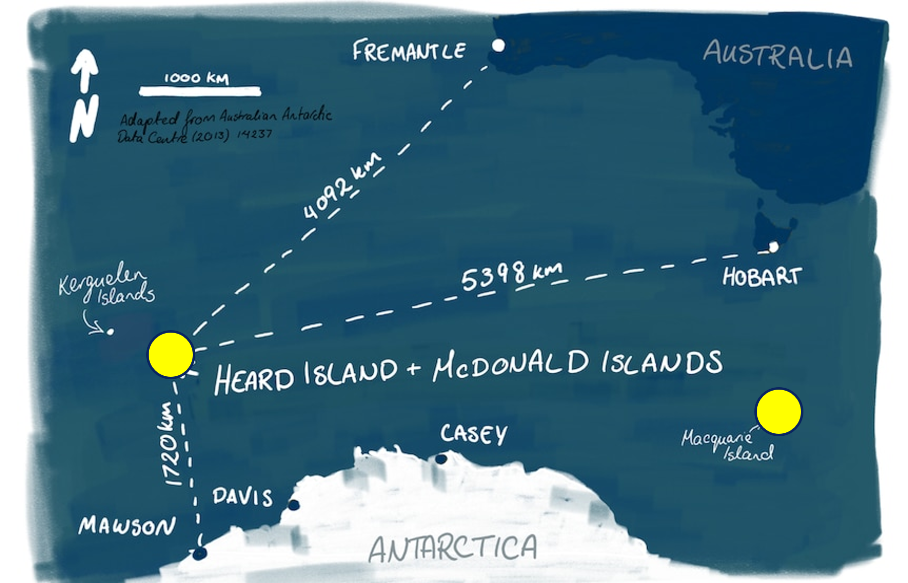
Planning voyages to Macquarie Island and Heard and McDonald Islands (HIMI) means operating in some of the world’s harshest and least observed environments, where narrow weather windows can directly affect cargo transfers, science operations, and safety. With no port infrastructure, operations depend on suitable winds, waves, visibility, and cloud conditions yet observations across these remote regions are limited and fragmented.
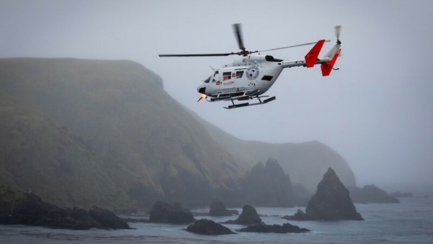
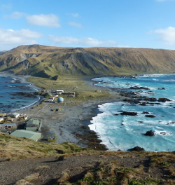
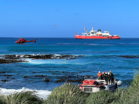
Photos: Macquarie Island Research Station and images of station resupply and operations at Macquarie Island.
Photo credit: Australian Antarctic Program
To support operational planning for the Australian Antarctic Division (AAD), the Bureau of Meteorology combined available observations with reanalysis products such as BARRA and ERA5, alongside wave hindcasts, to develop tailored climatological information for the Australian Antarctic Division. Rather than providing a single operational solution, the project delivered customised decision-support information that allows operators to assess risk, compare scenarios, and identify suitable operational windows for different types of activities.
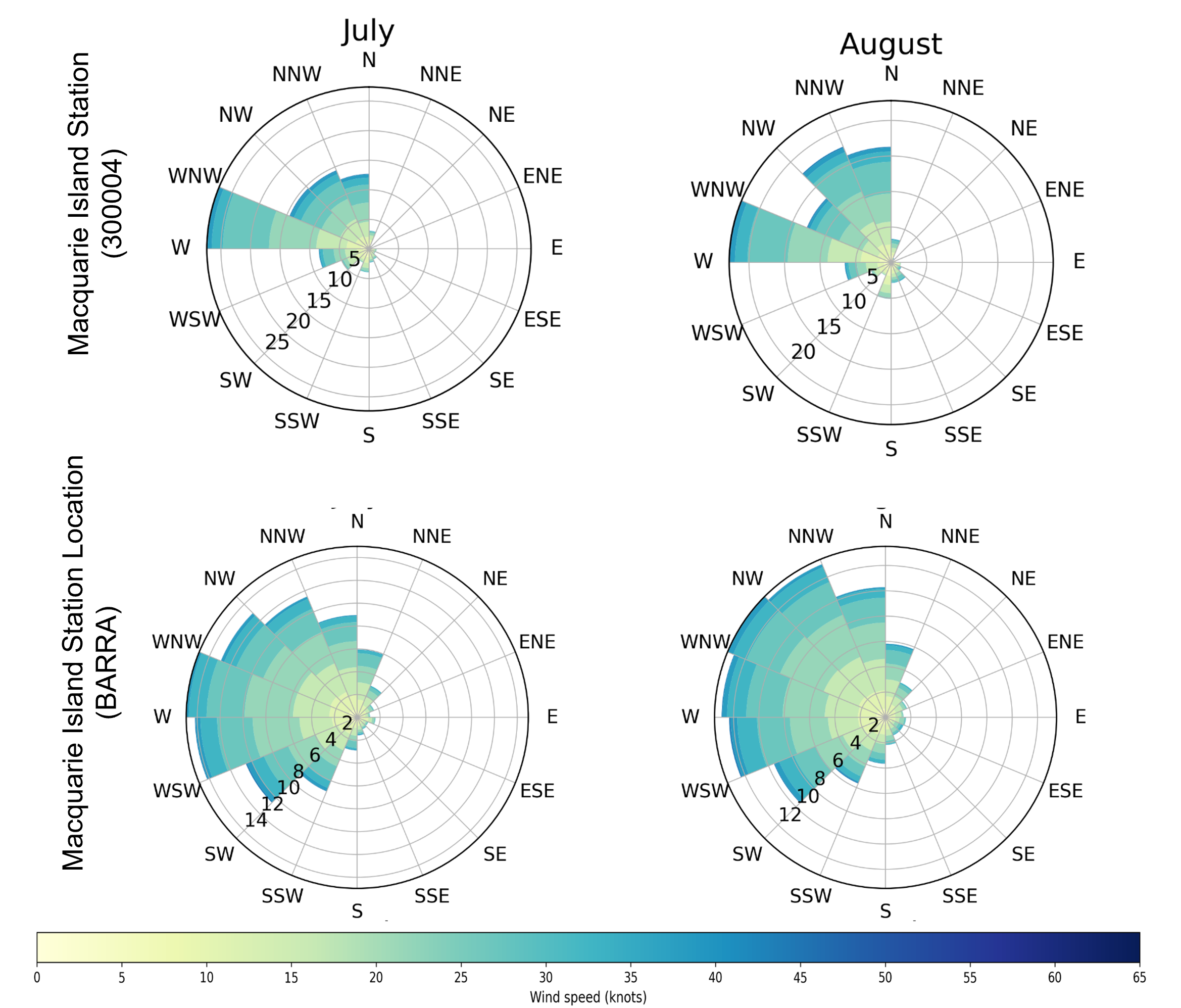
Macquarie Island has a long meteorological record since 1948, but still has gaps, especially in marine observations. Heard Island has even fewer direct observations, with no permanent station. To address this, multiple datasets were combined, including station data, BARRA, ERA5, and wave hindcasts, to build a more complete operational view. One of the intriguing findings emerged when comparing wind roses from station observations and BARRA at Macquarie Island. Certain wind directions — particularly south-westerly and north-easterly flows — appeared in the ground observations but were much less evident in the reanalysis data. Rather than dismissing the discrepancy, the team investigated the physical reasons behind it. The explanation likely lay in the island’s complex topography and the location of the observation site itself. The Macquarie Island station sits near the northern end of the island, with mountainous terrain both to the south and north. Local terrain effects can influence how winds are observed at the station compared to how they are represented in a broader-scale model. This highlighted a critical lesson for operational climate services: observations and models do not always disagree because one is “wrong.” Sometimes they are describing different parts of the same environment. Understanding those differences is essential when translating climate information into operational guidance.
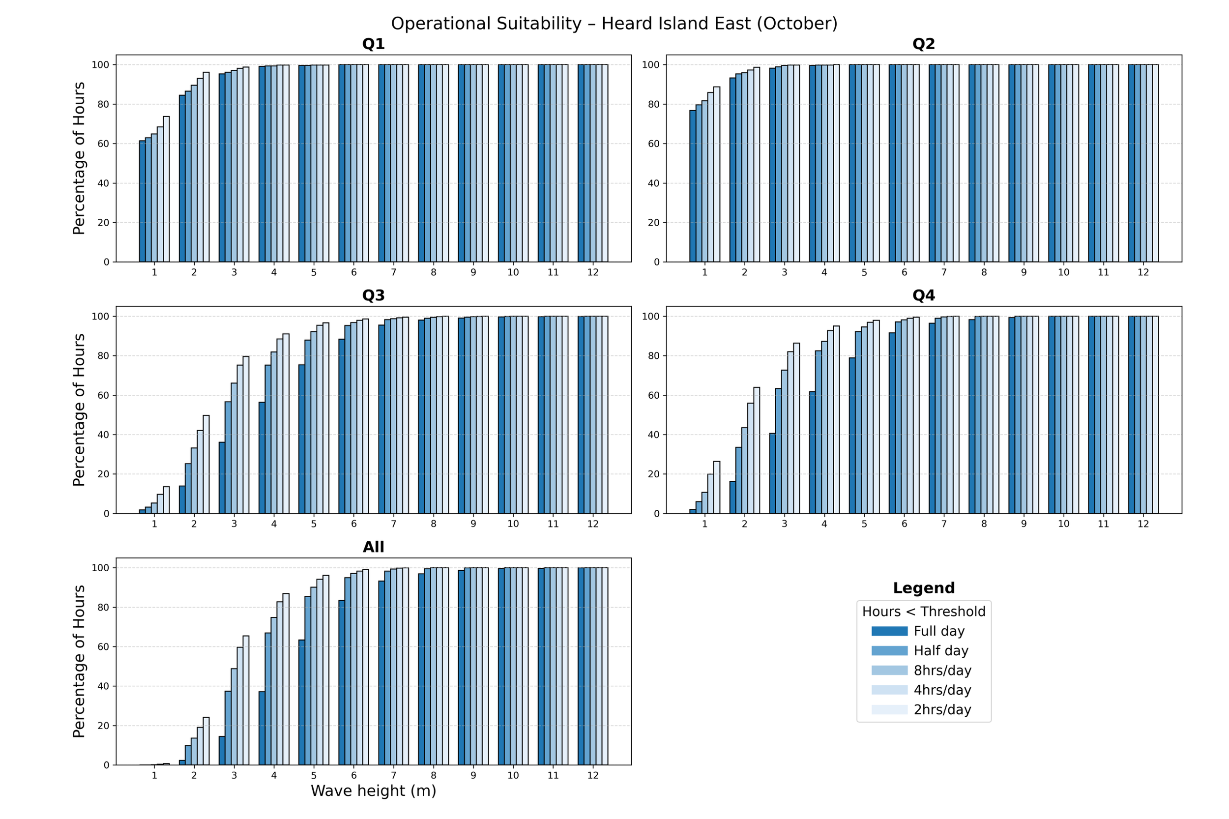
Wave conditions were assessed using the Wave Hindcast model data. This allowed to move beyond isolated observations and analyse long-term patterns in sea state and swell behaviour. Wave analysis was also customised to reflect how operations actually occur around each island. At Heard Island, standard directional quadrants were suitable because vessels may operate anywhere around [VH1] [JN2] the island. Whereas, at Macquarie Island, operations are concentrated mainly along the eastern coast. Therefore, rather than applying a generic method, custom directionals were developed using different critical wave-height combinations. This shift from standard climatology to tailored operational intelligence was central to the project.
The Southern Ocean is persistently overcast, yet key cloud variables needed for aviation operations are often limited in reanalysis datasets. To address this, BARRA cloud data from the nearest representative offshore grid point was adapted for Heard Island, providing useful operational context despite the challenges of modelling small remote islands.
The project was never intended to provide a single operational threshold or a simple go/no-go answer. Different expedition activities require very different environmental windows spanning from 2-hrs to 24-hrs. The analysis therefore focused on probabilities and operational windows rather than deterministic outcomes. For example, instead of simply identifying “rough months,” the percentage of time that operational thresholds were met in during daylight hours and across full 24-hour periods were quantified. This allowed planners to assess how likely suitable conditions were for different types of activities and time requirements.
The project demonstrated that operationally useful climate information can still be developed even where direct observations are sparse or imperfect. Importantly, the outcome was not a single forecast product or static report. Instead, it was a decision-support framework. It enabled planners to understand risk, seasonality, and operational feasibility across different activity types. Finally, the analysis outcomes were also validated against voyages conducted in previous years. The real observations broadly aligned with the analysis, although the observed extremes were generally higher than those represented in the climatological assessment. In remote and extreme environments, uncertainty can never be fully removed. But with thoughtful integration of available data and a strong understanding of operational context, uncertainty can be transformed into actionable information.